Did you know that 80% of data collected by businesses has a location component?
However, many of them face problems with:
- lack of easy access to these data within the organization
- lack of an all-in-one platform for presenting data from various sources
- long processes of implementing geospatial applications supporting business processes, including operations in the field
These problems can lead to
- ineffective and protracted processes that are over engaging for the employees
- suboptimal use of resources
- high costs of completing works.
Discover GeoGrid - software to visualize, manage, and understand your data using interactive maps
GeoGrid is a light GIS – a universal geographic information system with basic features, ready to immediate use and available in Cloud, as a web or mobile app
Web and mobile SaaS applications
available for immediate use in your company
Configurable data model
which can combine data from different sources. In addition, working on projects allows you to adjust the scope of the presented data to the employee role
Everyone in your organization can use geospatial data
GIS knowledge is not needed thanks to a user-friendly interface
Support in the collection, transformation, and integration of your data
thanks to FME, a data integration platform managing over 450 data formats and sources
Explore GeoGrid features
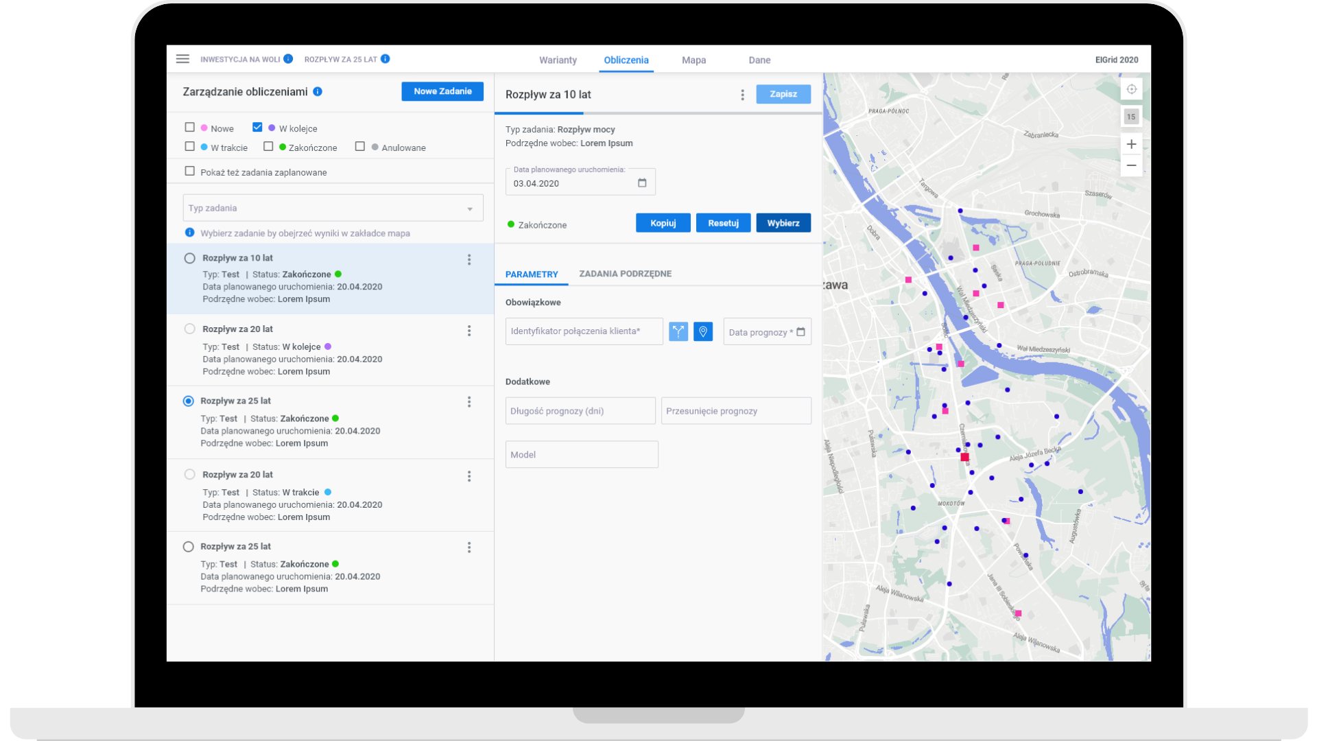
Create eye-catching, interactive maps
Understand your data better and get more information out of them with beautiful maps based on Open Street Maps. Full interactivity allows you to navigate efficiently as well as display the key information and dependencies.
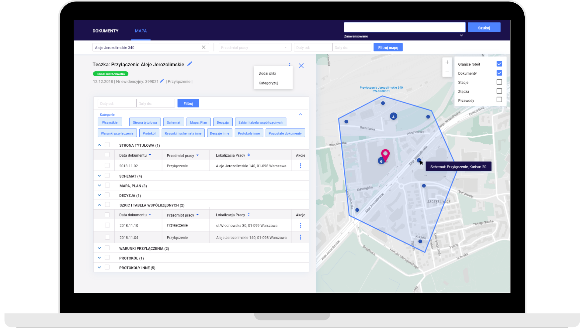
Gain new perspectives and enhanced details as you interact with data, zoom in, or search on the map: object attributes, notes, documentations, and linked objects. Click on the map to discover location-specific data displayed in object properties, tables, or charts. Analyze the maps and get valuable insights about spatial relationships that can help your business grow.
Monitor and manage your assets
- As a stand-alone solution – GeoGrid can run based on internal and external data sources, displayed as raster and vector layers
- Integrated with other systems – GeoGrid can be also integrated with GIS solutions
GeoGrid has a fully configurable model of geospatial data and predefined data models for network industries (heating, energy, lightning, water). Depending on the project or employee role, the scope of data and features can be different.
Edit and cooperate
- based on the same data, taking into account the roles of different users
- both stationary and field workers
- accessible offline in the mobile app


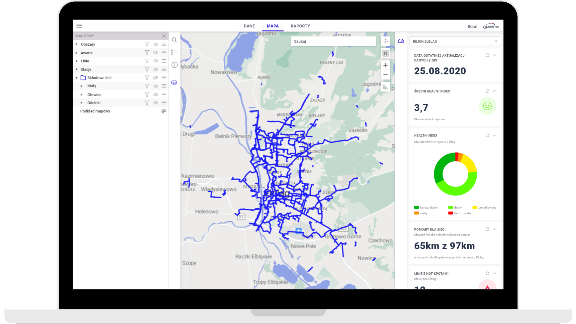
Analyze data and monitore dashboards
With GeoGrid, you can:
- create advanced attribute and spatial queries, using the wizard/creator
- modify data styles for analyzes (based on attributes, heatmaps, and clustering)
- analyze data based on tables and interactive dashboards to monitor your assets in real time
What will you get with GeoGrid?
Reduced costs and increased efficiency
thanks to wide access to geospatial data and effective processes
Effective support for fieldwork
easy access to data that can be modified by mobile workers directly in the field
Increased effectiveness of employees
easy access for employees, taking into account role and scope of information
Low implementation cost
as a result of the SaaS model and our support in data migration
Who can use GeoGrid?
„53% of enterprises say that Location Intelligence is either critically important or very important to achieving their goals.”
Forbes
Network industries
Heating, water and sewage systems, energy, etc.
Infrastructure
Local and federal government
Business
Real estate, insurance, retail and e-commerce
Read our latest articles!
Clients
Thank you for your trust


Trust our experience
Why us?
Experience
We have almost 25 years of experience in creating and implementing geospatial solutions – our portfolio includes both small map applications and advanced GIS systems.
Satisfied customers
Over the years, we completed projects for almost 600 companies and organizations from all around the globe.
System integrations
Need to integrate GeoGrid with other systems used in your organization? You are already using another GIS solution? No problem – we will not only help you to integrate GeoGrid seamlessly with any system you want, but we will also support you with capturing, transforming, and integrating your data using the FME platform.
Team of experts
200 years – that’s how much experience our team members have altogether in developing and implementing map solutions. We have a deep understanding and knowledge of that area.
”Our field crews, members of the emergency team, and operation department can easily access and use data about network infrastructure from DH.GIS database, using mobile devices with GeoGrid tools, based on Google Maps.
Adrianna Chmurahead of GIS, MPEC Rzeszow, a Polish district heating company
Dedicated map applications
You are not sure if GeoGrid is the right solution for your business? You have industry-specfic needs and requirements? We can help you! We develop dedicated map applications, based on GeoGrid components:


